|
|
|
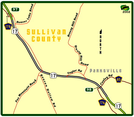
This ...umm "exit" has been discussed at least a couple of times on misc.transport.road but the only snaps I've seen are kinda fuzzy. So I went out and spent a bit of time at "Exit 98". First off here's a map that gives a clue as to what's going on. Exit 98 occurs in a stretch of dual carriageway that has a number of level junctions. The other junctions don't have numbers, since they're town roads, and not that important. This area is posted at 55 mph, though the actual driver speed is closer to 65. A note: the 17x county routes are old alignments of NY 17.
Eastbound sign. No date on this one, but it's older than the westbound sign, below. Note the seperate tab.
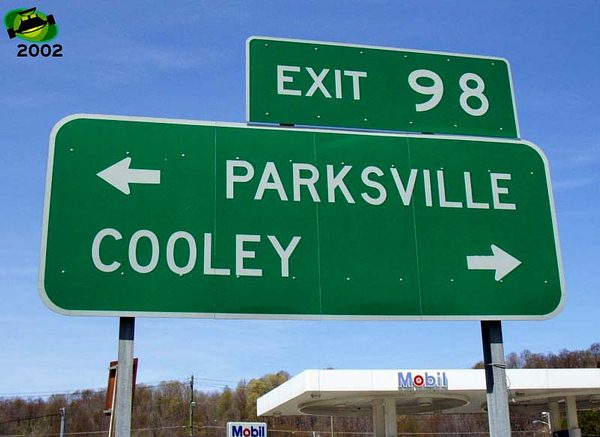
Westbound signs. The first dates
from 1995 according to the tab on the reverse. A bit of a sloppy job
of work, as the tab hangs over the sign, and the exit number is two
different fonts-the 9 being FHWA series "E" and the 8 being
FHWA series "D". Basically this is a standard directional
sign, not a freeway sign, as such.
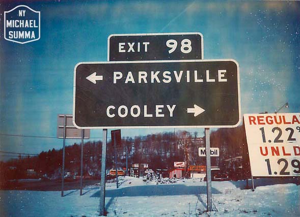
Then you have the 1976 version from Michael Summa, in glorious Button Copy, of course.
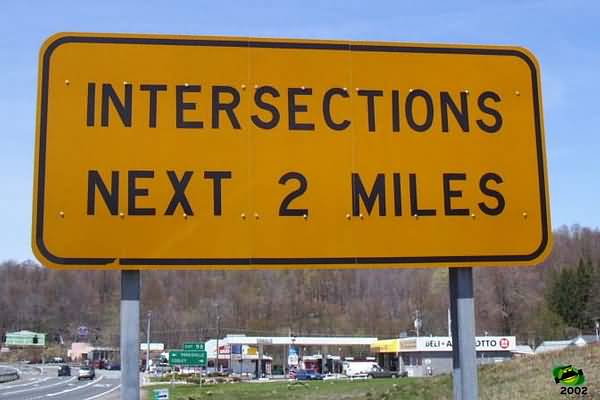
Level junction warning. These are posted at all the dual carriageway sections of NY 17.
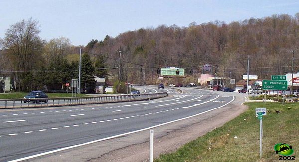
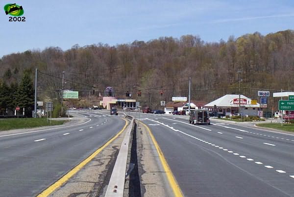
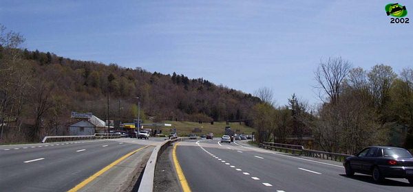
Looking at the junction from the east(facing west), the first snap is from the verge near the level junction warning, and the second from the central reservation. This junction is well chanellized with good lane markings, The signals have strobes(only one works-these have a VERY short service life)-and there are advance beacons, so you know what you're getting into if you pay attention.
Looking east from the first Taylor Road level junction.
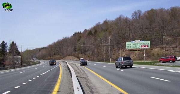
Looking west at that same location.